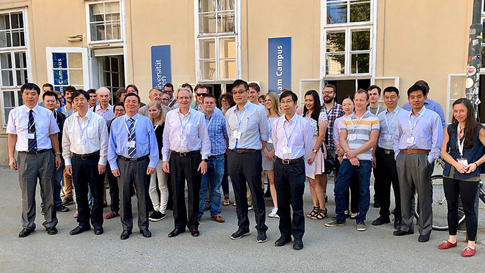
Goal of this workshop was to present the developments of civilian remote sensing technologies of China to a wide audience. Leading Chinese scientists reported the latest results of Chinese satellite systems. The keynote lectures were given by Prof. Jianya Gong (Wuhan University), Academician of the Chinese Academy of Sciences, and Dr. Xinming Tang, Chief developer of the first civilian Chinese remote sensing satellite ZY-3 and Deputy Director General of the Satellite Surveying and Mapping Application Center, National Administration of Surveying, Mapping and Geoinformation of China.
Professors from universities in Hong Kong (Prof. Zhou, Prof. Li) and Shanghai (Prof. Tong) as well as representatives of Geoville (Dr. Hoffmann) and Synergis (Mag. Naderer) reported about applications of the presented systems.