Als Humangeographin forschen Sie unter anderem zum Menschzeitalter, dem Anthropozän. Sehen Sie die COVID-19-Pandemie als einen Ausdruck des Anthropozäns?
Heike Egner: Gewissermaßen, ja. Dass die Gefahr für Pandemien höher ist, liegt auch an unserer Wirtschaftsweise und an der Art und Weise, wie wir industrialisiert mit der Natur umgehen. Als Sozialwissenschafterin interessiert mich aber nun, wie wir als Gesellschaft jetzt damit umgeht. Und das ist hochspannend. Wir alle sind ja gewissermaßen Teil eines globalen Live-Experiments. Das ist nicht unbedingt schön, aber damit müssen wir umgehen. Die Pandemie ist aber nur eine Facette. Auch die Klimakrise oder der dramatische Verlust an Biodiversität bringt uns alle in eine Situation, in der wir Teil eines Live-Experiments sind. Anders als in einem Laborexperiment sind aber auch die Wissenschaftler*innen zugleich Versuchskaninchen. Weil niemand weiß, wie es ausgehen wird.
Was kennzeichnet das Anthropozän aus Ihrer Sicht?
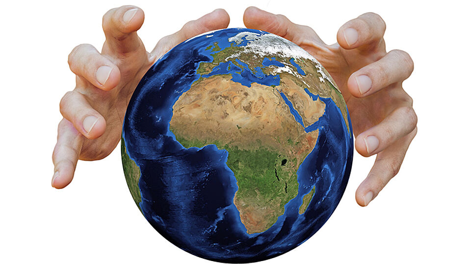
Egner: Das Anthropozän stellt im Wesentlichen eine Diagnose dar, wie wir uns mit der Natur in Beziehung setzen. Auch wenn es eigentlich ein geologischer Begriff ist und noch darüber diskutiert wird, ob man seinen Beginn wissenschaftlich an Radioaktivität, Plastik oder sonst etwas festmacht: Es gibt außerhalb der Wissenschaft schon länger Kunstausstellungen, Projekte und Diskussionen über das Anthropozän. Das heißt, die Gesellschaft hat längst entschieden, dass wir im Anthropozän leben.
Große Kränkung und Chance für Überleben der Spezies
Wie verändert das Anthropozän unsere Vorstellung von Natur und Umwelt?
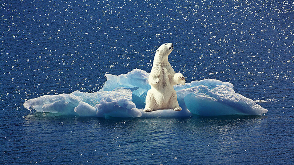
Egner: Für die Gesellschaft bedeutet der Begriff Anthropozän erst mal eine große Kränkung – denn wir Menschen werden als Ursache der Krise genannt, als Gefahr für unsere eigene Lebensweise, für unsere Mitlebewesen und für uns selbst. Das Anthropozän könnte uns lehren, dass wir, wenn wir als Spezies überleben müssen, anerkennen müssen, dass es Mitlebewesen gibt, die ähnliche Ansprüche haben wie wir. Das Bewusstsein, dass wir ein Teil der Welt sind, ist ein wichtiger Schritt. Wir müssen von der Umwelt zur „Uns-Welt“ gelangen, wie Reinhold Leinfelder das nennt.
Was braucht es für diesen Schritt von der Umwelt zur Uns-Welt?
Egner: Die Gesellschaft wird durch Kommunikation erzeugt – letztlich sind Veränderungen daher auch nur kommunikativ zu erreichen. Wie es Niklas Luhmann in seinem Werk „Ökologische Kommunikation“ formulierte: „Es mögen Fische sterben oder Menschen, das Baden in Seen oder Flüssen mag Krankheiten erzeugen, es mag kein Öl mehr aus den Pumpen kommen und die Durchschnittstemperaturen mögen sinken oder steigen: solange darüber nicht kommuniziert wird, hat dies keine gesellschaftliche Auswirkungen.“
Demnach findet der Klimawandel nur statt, wenn darüber gesprochen wird?
Egner: Am Beispiel der Nuklearkatastrophe von Tschernobyl konnte man das gut verfolgen: In Deutschland fand eine breite Auseinandersetzung statt, der Tag ist bis heute im kollektiven Gedächtnis verankert, jeder weiß um den Atomunfall. Doch das Ereignis hörte an der deutsch-französischen Grenze auf zu existieren – trotz gleicher Strahlenwerte. In der Atomnation Frankreich fand Tschernobyl nicht statt. Es gehört nicht zum kulturellen Gedächtnis, weil darüber nicht gesprochen wurde. Also ja, auch umgelegt auf derzeitige Krisen: Wenn nicht darüber gesprochen wird, findet es de facto nicht statt. Das heißt aber auch, dass wir als Wissenschafter*innen die Aufgabe haben, über diese globalen Krisen zu reden und sie zum Thema zu machen!
Sicher ein Übergangsbegriff
Ist dabei der Begriff des „Anthropozäns“ hilfreich?
Egner: Der Begriff selbst ist sicher ein Übergangsbegriff. Er benennt uns Menschen als Verursacher, und das provoziert und hilft, eine Debatte in Gang zu bringen. Auf längere Sicht wäre es wünschenswert, das Gesamtsystem auch begrifflich in den Blick zu nehmen. Was sich als geeignet erweist, wird sich zeigen. Ein Kollege beispielsweise „Cosmoscene“ vor. Die Auseinandersetzung mit dem Anthropozän könnte aus meiner Sicht zu einer neuen Kosmologie führen – vergleichbar der kopernikanische Wende, in der die Erde als Mittelpunkt der Welt desillusioniert wurde, müssen wir nun lernen, dass wir Menschen nicht im Mittelpunkt der Erde stehen.
Wo befinden wir uns auf diesem Weg derzeit? Oder, anders gefragt: Gehen wir diesen Weg schnell genug?
Egner: Ich würde mir mehr Geschwindigkeit wünschen. Die Coronakrise ist dabei zweischneidig: Einerseits liegt darin die große Chance, dass wir nun gravierende Lernschritte machen und die Wirtschaft aufgrund politisch-zivilgesellschaftlicher Prozesse so anpassen, dass wir uns auf einem besseren Weg befinden. Aber gleichzeitig will aufgrund der wirtschaftlichen Einbußen jeder so schnell wie möglich zurück zur Situation davor.
Wurde die Wirtschaft zu schnell wieder hochgefahren?
Meiner Meinung nach ja: Wir vergeben da gerade eine Chance. Ich würde mir mehr partizipatorische zivilgesellschaftliche Diskussion darüber wünschen, wie wir leben wollen. Wie gut wir durch die Krise kommen, wird nicht nur durch die Zahl der Infizierten angezeigt, sondern auch durch die Grundrechte, die noch intakt sind, die Zahl der Arbeitslosen und der Insolvenzen. Corona zeigt uns wie mit einer Lupe, wo wir gesellschaftlichen Verhältnisse haben, die wir eigentlich nicht wollen – sei es in Österreich, Deutschland die Fleischproduktion – sei es in Brasilien die Gesundheitsversorgung. Da sollte man ansetzen.
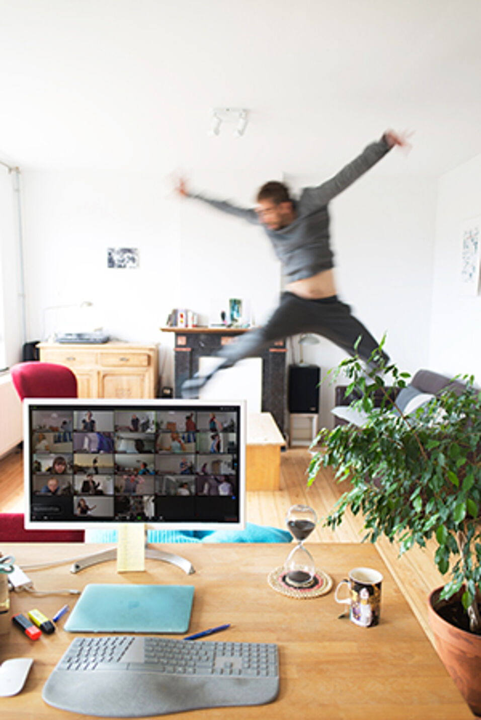
Coronabedingt haben Sie ja Ihr Ida Pfeiffer-Semester physisch in Deutschland verbracht, aber die Lehre virtuell umgesetzt. Wie haben Sie das „distance teaching“ im Sommersemester empfunden?
Egner: Alle mussten sehr rapide umstellen, aber auch abgesehen davon ist virtuelle Lehre sehr viel anstrengender als Präsenzveranstaltungen. Gerade bei fortgeschrittenen Seminaren braucht man einen gemeinsamen Raum, in dem Reflexion möglich ist. Ich habe sehr viel mit Videotools experimentiert. Es ist gemeinsam mit den Studierenden, die sich toll darauf eingelassen haben, sogar gelungen, diesen Reflexionsraum zu erarbeiten, aber es braucht Gewöhnung und ist für alle wahnsinnig anstrengend.
In der verbeheimateten Umgebung der Denken loslaufen lassen
Zwar erhält man teilweise sehr persönliche Einblicke in die privaten Räume: Manche kuscheln sich ins Sofa, andere essen ständig – es war schön, in der eigenen verbeheimateten Umgebung das Denken loslaufen lassen zu können. Doch die Abstimmungsprozesse, die soziale Bestätigung im wechselseitigen Wahrnehmen in einer Gruppe, der Blick, mit dem wir uns verständigen, ob wir irritiert sind oder nicht – all das fällt in der Videokonferenz weg. Und das ist doch der soziale Kitt, der uns zusammenhält.
Zur Person
- Heike Egner ist Humangeographin und beschäftigt sich mit Fragen zu Gesellschaft-Natur und Mensch-Umwelt. Sie legt dabei einen systemtheoretisch sowie gesellschaftstheoretisch informierten Blick zugrunde, der auch Aspekte von Philosophie, Konfliktforschung, Risiko- und Katastrophenforschung, Hirnforschung und Lerntheorien einbezieht. Sie forschte und lehrte an den Universitäten Mainz, Frankfurt am Main, Kassel, München, Innsbruck, Wien und Klagenfurt. Im Rahmen der Ida Pfeiffer Gastprofessur vertiefte sie im Sommersemester 2020 unter anderem ihre Forschungen zum Anthropozän.