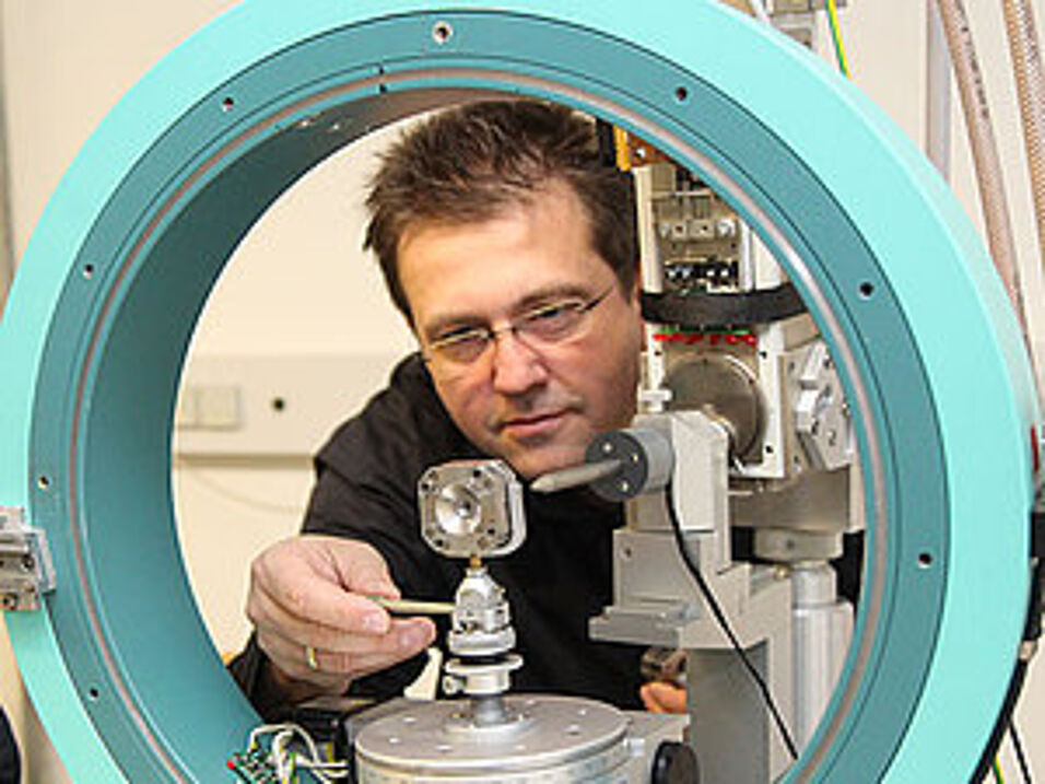
Sie organisieren die Europäische Kristallographie-Tagung in Wien mit. Was sind dabei die Highlights?
Ronald Miletich: Wir freuen uns sehr darüber, dass wir die bedeutendste europäische Tagung für KristallographInnen heuer nach Wien – an die Universität Wien und die Technische Universität – gebracht haben. Wir erwarten rund 1.100 internationale TeilnehmerInnen, davon etwa 10 bis 15 Prozent aus nicht-europäischen Ländern. Das Besondere ist, dass die Veranstaltung sehr disziplinübergreifend angelegt ist: Der Bogen der 48 Mikrosymposien, 16 Keynote Lectures und zwei Plenarvorträge spannt sich von Chemie, Physik und Geowissenschaften über die Molekular- und Strukturbiologie bis hin zur Medizin und den Materialwissenschaften. In der Woche davor wird es zudem 15 Satellitenveranstaltungen mit einer Mischung aus Workshops, kleinen Tagungen und Vorträgen zum Austausch und Fachsimpeln an der TU Wien geben.
Auch die drei Conference Chairs kommen aus sehr unterschiedlichen Gebieten – von der Kristallographie über die Röntgenwissenschaft bis zu Strukturbiologie.
Miletich: Ja, wir kommen alle drei aus verschiedenen Teildisziplinen und repräsentieren damit die bunte Vielfalt, die auf dem Gebiet der Kristallographie zu erleben ist. Wir bedienen uns zwar alle der üblichen Methode der Röntgenbeugung, haben aber ganz verschiedene Forschungsobjekte: die Struktur von Proteinen und Enzymen, Hochdruckstrukturen, die im Planeteninneren eine Rolle spielen können oder wie sich in einer Batterie die Ionen innerhalb der Kristallstruktur bewegen. Mit der Europäischen Tagung wollen wir genau diese Vernetzung der Disziplinen fördern.
Welche neuen Entwicklungen in der Kristallographie werden auf der Tagung präsentiert?
Miletich: Besonders freue ich mich darüber, dass die neuesten Detektortechnologien auf dem Gebiet der zeitaufgelösten Röntgenkristallographie vorgestellt werden. Mit diesen kann man heute ein ganzes Video machen, wo früher nur Einzelaufnahmen, quasi wie Fotos, möglich waren. Für die Auswertung von Strukturänderungen ist das ein gewaltiger Fortschritt, denn wir können damit nicht mehr nur statische Zustände röntgen, sondern auch die Dynamik, die Veränderung dahinter sehen und somit Zeitabläufe besser verstehen. Das ist zum Beispiel in der Biochemie von großer Bedeutung oder für das Verständnis über die Abläufe bei Erdbeben.
Auch stark im Kommen ist es, statt Röntgenstrahlung die Methode der Elektronenbeugung zu verwenden, um mithilfe eines Elektronenstrahls über die Regelmäßigkeit der atomaren Strukturen Informationen zu bekommen. Dazu wird es auch einiges an Neuigkeiten auf der Tagung geben.
Viele Sessions werden sich um angewandte Kristallographie drehen. In welchen Bereichen der modernen Welt spielen Kristalle eine wichtige Rolle?
Miletich: Fast alle Materialien der unbelebten Materie sind letztendlich geordnete kristalline Strukturen. Mit der Methode der Röntgenbeugung kann man die Anordnung der Atome rückbestimmen und damit Information zur Materialstruktur bekommen. Das wird von sehr vielen Disziplinen genutzt. Ein Beispiel ist die Entwicklung von Medikamenten: Ob ein Wirkstoff wirkt oder nicht, hängt oft damit zusammen, dass die Moleküle im Präparat eine gewisse Struktur haben müssen, weil es nur in dieser Form der Moleküle seine bestimmte Funktion ausübt. Die Pharmaindustrie ist deshalb auch sehr interessiert an unserer Tagung.
Und in der Medizin und Technik?
Miletich: An der Universität Wien werden Röntgenlabore im Bereich der molekularen Medizin betrieben, zum Beispiel zur Krebsforschung, wo genau dieses Prinzip der Röntgenstrukturanalyse angewendet wird. Auch die Strukturen von Viren wie zum Beispiel dem AIDS-Virus wurde auf diese Art und Weise erforscht. In der Technik haben wir viele Prüfverfahren, etwa in der Baustoffindustrie, wo man diese Routineanalyse braucht. In der chemischen Industrie ist die Kristallographie zum Beispiel für die Herstellung von Autolacken interessant. Energieumwandlung und Energiespeicherung sind weiters große Themen in der Materialwissenschaft, die nicht zuletzt aufgrund des Klimawandels immer bedeutender werden.
Wie sehen Sie den Stellenwert der Kristallographie im Vergleich mit anderen Disziplinen in der Öffentlichkeit?
Miletich: Die Kristallographie war immer ein sehr angewandter Forschungszweig und hat mittlerweile ihren Platz zwischen den Disziplinen gefunden. Wir sind zum Beispiel sehr stolz, dass wir mehr als zehn Nobelpreisträger haben, die mit Kristallographie zu tun haben. Sie wird aber meiner Meinung nach noch immer nicht angemessen dargestellt und verkauft. Physiker, Chemiker, Biologen und Geowissenschafter, sie alle bedienen sich moderner kristallografischer Methoden, räumen jedoch der Kristallographie keinen ebenbürtigen Stellenwert als Disziplin ein.
Die Tagung richtet sich zwar primär an Fachleute, es wird aber auch ein Programm für ein allgemein wissenschaftlich interessiertes Publikum geboten.
Miletich: Wir möchten uns mit unserer Forschung auch gegenüber der Gesellschaft öffnen, deshalb wird es auch zwei Public Lectures geben. Elspeth Garman von der Universität Oxford wird über die Entwicklung der Kristallographie in den letzten hundert Jahren und deren Zukunft sprechen. Koen Janssens von der Uni Antwerpen spricht über kristallografische Untersuchungen in der Malerei. Dieser Vortrag entstand, weil gerade hier in Wien der Erhalt von kulturellem Erbe eine große Rolle spielt. Es gibt zum Beispiel zwei Forschungsgruppen im Kunsthistorischen Museum und an der Akademie der bildenden Künste, die großes Interesse haben, mit unseren Methoden Materialanalysen an Kunstobjekten durchzuführen.
Ein Highlight ist auch das größte Kristallstruktur-Modell der Welt von Robert Krickl.
Miletich: Ja, darauf sind wir besonders stolz. Es ist der größte je von Menschenhand dreidimensional und maßstabsgetreu nachgebildete Ausschnitt aus der Anordnung von Atomen in einem Salzkristall und offiziell eingetragen ins Guinness Buch der Rekorde. Das drei Meter hohe Modell besteht aus 38.880 Kugeln und über zehn Kilometern an Verbindungsstäben und wird ein zentraler Teil der Ausstellung im Arkadenhof der Uni Wien sein. Der bestehende Weltrekord könnte dabei noch einmal verbessert werden.
Und was erwartet die BesucherInnen beim Science Slam?
Miletich: Der Science Slam ist anspruchsvoller als ein Public Talk, hat aber eine große Unterhaltungskomponente. Einzelne ForscherInnen stellen sich dabei der Aufgabe, ein komplexes Thema aus der Kristallographie einem Publikum, das nicht mit dem Thema vertraut ist, auf kreative, humorvolle Art verständlich zu machen. Das kann auch für ExpertInnen im Publikum eine Herausforderung sein. Der erste Gewinner eines Science Slams in der Kristallographie war übrigens ein ehemaliger Uni-Wien-Student! (isa)
- European Crystallographic Meeting: 18. bis 23. August 2019, Universität Wien und Technische Universität Wien
- Conference Chairs:
- Kristina Djinovic-Carugo, Department für Strukturbiologie und Computational Biology, Max Perutz Labs
Universität Wien - Klaudia Hradil, Röntgenzentrum, Technische Universität Wien
- Ronald Miletich, Institut für Mineralogie und Kristallographie Universität Wien
- Kristina Djinovic-Carugo, Department für Strukturbiologie und Computational Biology, Max Perutz Labs
- Weitere Infos und Programm: https://ecm2019.org


